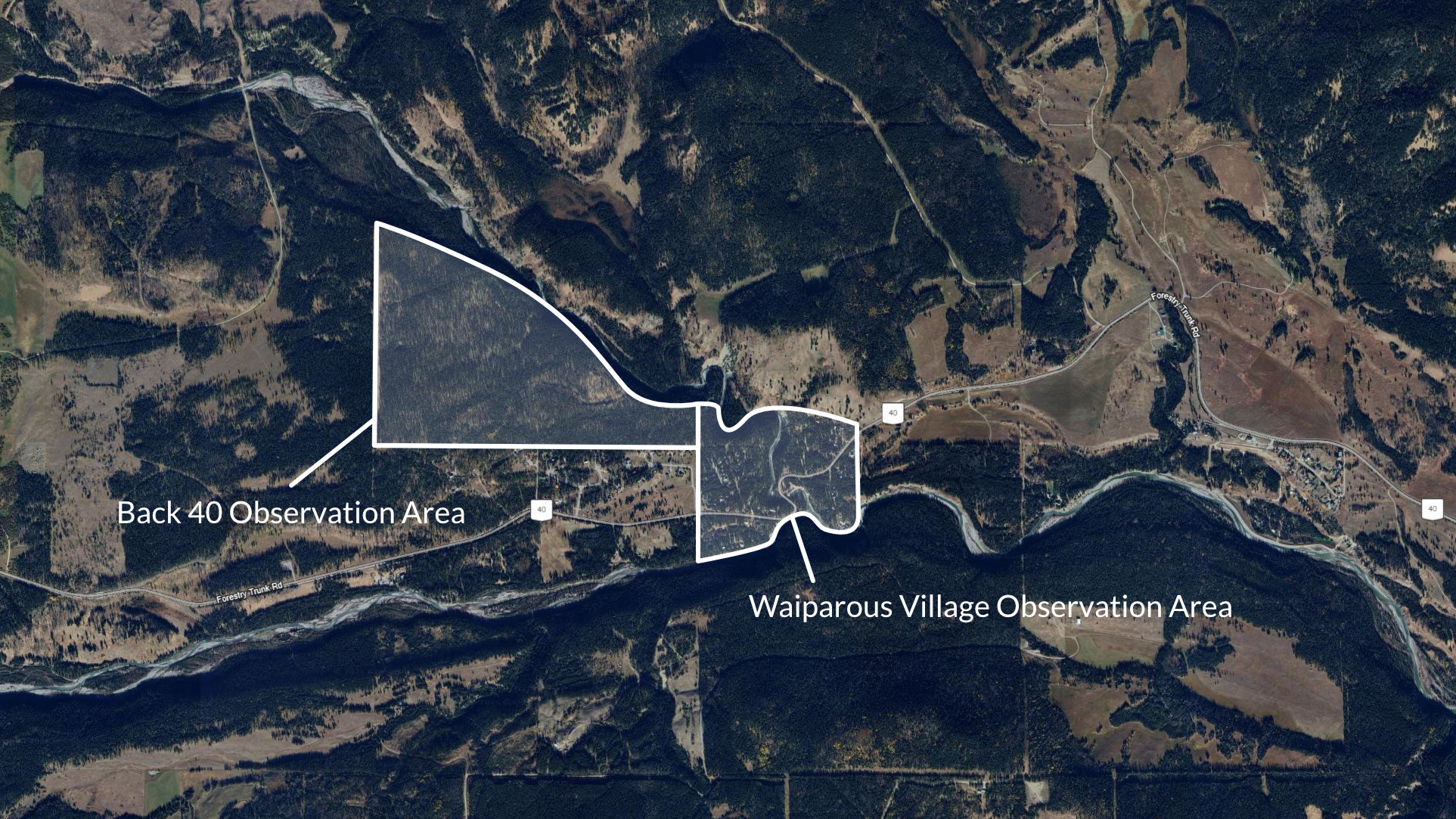
Ten months after the installation in Waiparous Village, we returned with another set of cameras for the Back 40. The Back 40 Trail area was the natural expansion of the pilot trail camera program, nestled in Alberta's foothills with rolling forested terrain along Waiparous Creek, its heavily used trail network by the local community offers ideal trail intersections to monitor apex predator movements amid human activity. We we're thrilled that all managing parties—including the MD of Bighorn, Summer Village of Waiparous, GWTA, and Alberta Environment and Parks—approved adding cameras to analyze coexistence patterns and empower residents.
View a selection of the most stand-out wildlife captures over the course of the project. These highlights are combined for the Back 40 Trail area and the Village of Waiparous.

June 2023 - December 2023
The Back 40 trail network just North West of Waiparous was added to the project in October of 2023, and with it the number of noteworthy captures.

January 2024 - May 2024
Spring 2024 held one of the most unique and exciting sightings of the entire project.

June 2024 - December 2024
Summer to Fall 2024 was by far the most active and offered the most variety of species captured on our cameras.
The Back 40 is a 111-hectare (275-acre) provincial crown land recreation lease, just north of the Summer Village of Waiparous and Ghost Country Place/Pears Road subdivisions, east of Bar C Ranch, and atop the bank south of Waiparous Creek. Managed jointly by the Municipal District of Bighorn and Summer Village of Waiparous in partnership with the Ghost-Waiparous Trails Association (GWTA) and Alberta Environment and Parks, it preserves a forested area steeped in history from First Nations use, early ranching, logging by Eau Claire Lumber Company in the 1920s, and formal leasing since 1995 for low-impact activities.
Positioned on the eastern slopes of the Rocky Mountains near Highway 40 (about 23 km north of Highway 1A), the area features rolling forested terrain elevated around 1,338 meters on average, with trails designed around local topography including creek banks, slopes, and natural contours. Trails like Eau Claire and Cut Line accommodate emergency access while respecting wet areas, steep gradients, and fragile soils; nearby Waiparous Valley includes rocky sections, ledges, and V-notches for varied elevation changes.
Primary uses focus on passive, non-motorized recreation such as hiking, cross-country skiing, trail running, picnicking at viewpoints, and day-use resting spots, with dogs required on leash and all waste packed out. Volunteer-led trail/FireSmart maintenance occur seasonally when ground is dry/frozen, using authorized OHVs; no camping, fires, horses, hunting, or large groups are permitted to minimize environmental impact.