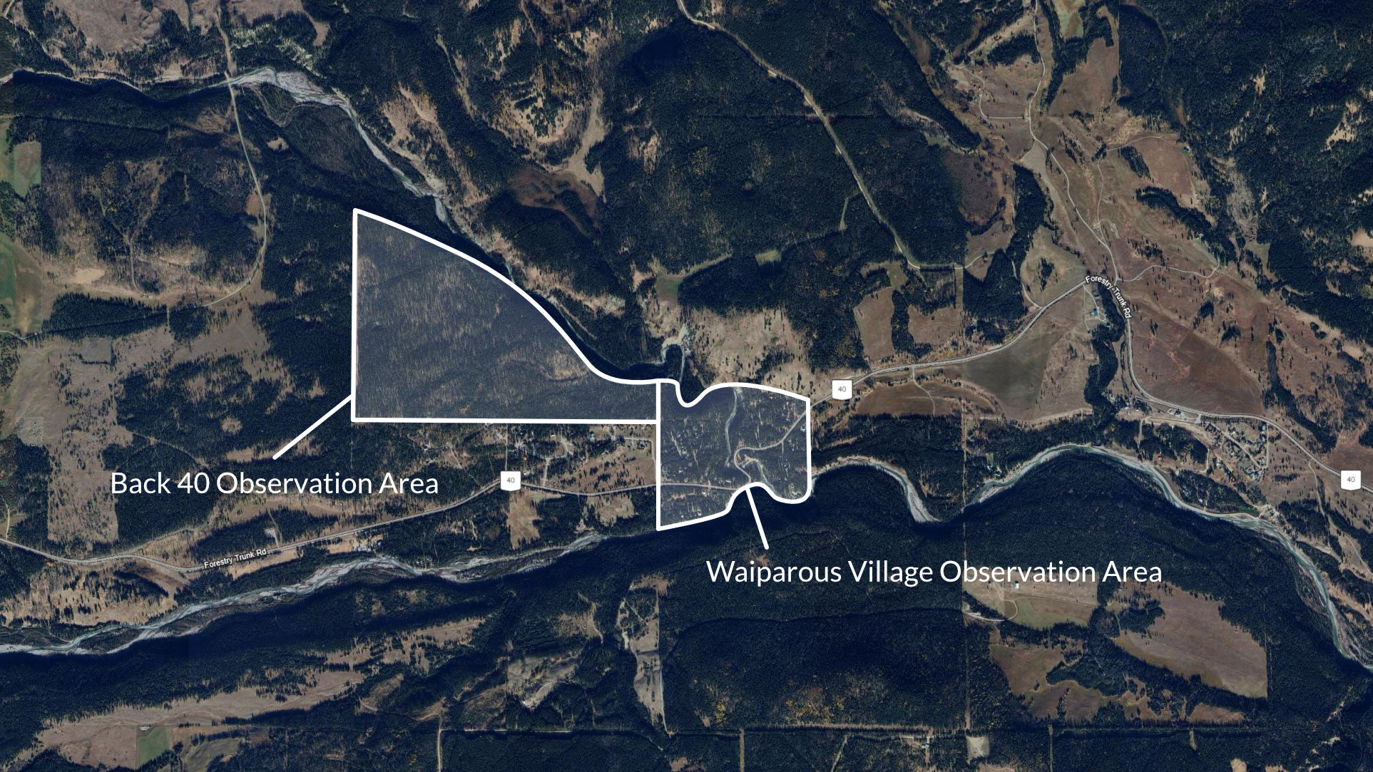
Waiparous Village was the ideal pilot project for our Community Trail Camera program due to its rural location in Alberta's foothills near the Ghost Wilderness, where cougar presence is well-documented through tracks, scat, and trail activity. As a tight-knit community with active trail networks and a history of conservation efforts, it offered perfect collaboration with local residents, the Village, and MD of Bighorn. This pilot demonstrated how non-invasive monitoring builds empathy, reduces conflicts, and promotes coexistence with apex predators right at the human-wildlife interface.
View a selection of the most stand-out wildlife captures over the course of the project.

January 2023 - May 2023
Our first winter to spring period of the project had a limited number of cameras. Mostly deer were captured, but we also had our first cougar sighting!

June 2023 - December 2023
The Back 40 trail area just North West of Waiparous was added to the project in October of 2023, and with it the number of noteworthy captures.

January 2024 - May 2024
Spring 2024 held one of the most unique and exciting sightings of the entire project.

June 2024 - December 2024
Summer to Fall 2024 was by far the most noteworthy for activity captured on our cameras.
Waiparous is a small summer village in Alberta. It is populated by seasonal residents and visited by outdoor enthusiasts. The village is situated along Highway 40 at the Waiparous Creek crossing, about 32 km west of Cochrane.
Waiparous lies in the upper foothills with access to the Ghost River and 20-30km from the Canadian Rockies eastern slopes. Waiparous creek runs through the village acting as a wildlife corridor, with the Ghost river to it's south. The village features varied foothill terrain typical of Alberta's transition zone to the Rockies. It sits at elevations ranging from about 1,240 to 1,531 meters. The landscape includes rolling hills and creek valleys along Waiparous Creek, with gentle to steep slopes.
As of the 2021 census, Waiparous has 57 residents across 0.41 km², up 16% from 49 in 2016, with a density of about 140/km². Most dwellings are seasonal cottages.
Waiparous is known for hiking, biking, creek activities, and nearby nature reserves. It's Back 40 trail area is used by residents and visitors, with a well managed and active fire smart program in the communities wooded areas.